Stu Swiedler last spoke for the Lafayette Historical Society in April 2011. His presentation received excellent reviews and comments. In the two years since that presentation, he has expanded his collection and will share his findings with us. He will be discussing the role of the East Bay Hills in WWII and the Korean War.
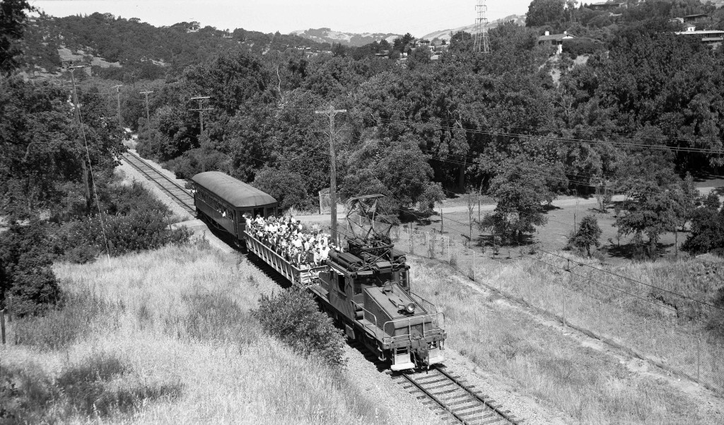
The route of the Sacramento Northern Railroad created a unique transportation corridor connecting Contra Costa County to Alameda County during a period of rapid growth in the early to mid-20th century. Photographs of the railroad captured everyday life, and the major events that shaped the development of the East Bay hills. This included the introduction of electricity, water, parks, roads and bridges, building construction, new agricultural products, education, manufacturing, transportation and ultimately the preparation and execution of war. The East Bay Hills Project (eastbayhillsproject.org) has combined images of the railroad with aerial views to tell the story.

Does this photo look familiar? Do you know who took it, when and why it’s important? Join us on August 14 at 7:00 p.m. and you will find out!

Leave a Reply