Lafayette Historical Society

Lafayette, California

  • Home
  • Archives/Oral Histories
    • Index By Name
    • Index By Category
    • 2009 Library Project Oral Histories
  • Lafayette History Rabbit Holes
  • Celebrating 175+ Years
    • Bay Miwok People
    • Early Downtown
    • Pioneer & Farm Life
    • Mt. Diablo Boulevard
    • Early School Days
    • Leisure Pastimes
    • Tunnels, Roads & Rails
  • About Us
    • Who We Are
    • Mission
    • Officers
  • Shop
  • Blog
  • Contact Us
    • Membership
    • Volunteering
  • Town History
    • Pictorial History
    • Preface
    • Lafayette’s First Inhabitants
    • Mexican Ranchos
    • Speculators
    • Yankee Settlers
    • Early Days
    • The Farmers
    • Village Life
    • From Wagon Roads to City Highways
    • School Days
    • The Leisure Life
    • Historic Houses
    • The Changing Pace
    • The Town
    • The City
    • References
  • Local Sites
    • Tour
    • Cemetery
  • Newsletters
  • Links
You are here: Home / Town History / Pictorial History / Early Days

Early Days

The early settlement that would become Lafayette straddled the road that led from the redwoods to the lumber shipping point at Martinez rapidly becoming a stop-over spot for wagon drivers and their teams and a community center for the scattered ranches on the old Acalanes grant.

At that time the road from Moraga Valley threaded over Jonas Hill and curved into modern Golden Gate Way near Second Street. Here, an early school and a church were built. Soon roadside stores, taverns, and rooming houses appeared as a town took shape.

In 1853 Elam Brown established a grist mill on the creek at Golden Gate Way near First Street, and in the early 1860s the center of the village began to shift away from the old lumber road and move toward the present Mt. Diablo Boulevard-Moraga Road intersection.

By 1857 the settlement would have an official name, a post office, and a country life before it would become a “commuter city.”

Lafayette map

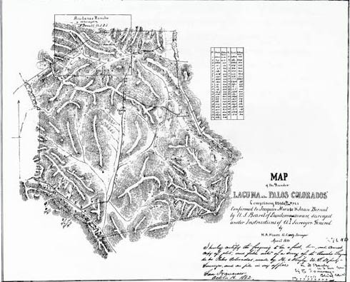
By 1855 the lumbering traffic from the San Antonio Redwoods to the shipping point in Martinez was heavy enough to support a blacksmith shop and a couple of taverns. The Widow Bernal’s home is shown on the map, and above is the “ojo de agua” near where Brown probably built his first house. By this date the earlier water supply had failed, and Brown had established the “downtown” Lafayette area and built the home on Lafayette Creek at Hough Avenue that he was to occupy until his death.

TOWN HISTORY

  • Town History
    • Pictorial History
      • Preface
      • Lafayette’s First Inhabitants
      • Mexican Ranchos
      • Speculators
      • Yankee Settlers
      • Early Days
      • The Farmers
      • Village Life
      • From Wagon Roads to City Highways
      • School Days
      • The Leisure Life
      • Historic Houses
      • The Changing Pace
      • The Town
      • The City
      • References

Follow Us

Facebook

LHS Store

Recent Posts

  • Oral History: Maeve Pessis — July 22, 2009
  • Lafayette Library Display – Honoring the Bicentennial Farewell Tour of the Marquis de Lafayette
  • Oral History: Gwen Lennox — August 8th, 2009
  • Oral History: Lois Laine — June 12th, 2009
  • Out Of The Archives: The 1942 Acalanes High School Yearbook

All photographs on this site are protected by copyright and may not be reproduced, distributed, transmitted, displayed, published or broadcast without the prior written permission of the Lafayette Historical Society.

Copyright © 2025 by Lafayette Historical Society · Site by Last Laugh Creative