As with all grants made in Contra Costa County, petitions for the five ranchos with land included in modern Lafayette were made after the Spanish period ended in 1822 and the Mexicans ruled Alta California.
Rancho Acalanes, usually considered Lafayette’s “own” because its third owner was the town’s founder, was originally granted to Candelario Valencia on August 1, 1834. A sergeant in a San Francisco company of “defensores de la patria” from 1823 to 1833, Valencia also owned several lots in the present Mission district and property in Marin County.
He reportedly moved onto the one square league Acalanes grant as early as 1828. In the mid-1830’s he constructed a dwelling near a spring one mile west of downtown Lafayette off Happy Valley Road. After Indigenous people destroyed the house, Valencia had a “shanty” put up in the same area, possibly in the late 1830’s. By this time Valencia had probably returned to live in Yerba Buena (San Francisco), and the small structure was occupied by vaqueros who ran the rancho’s cattle.

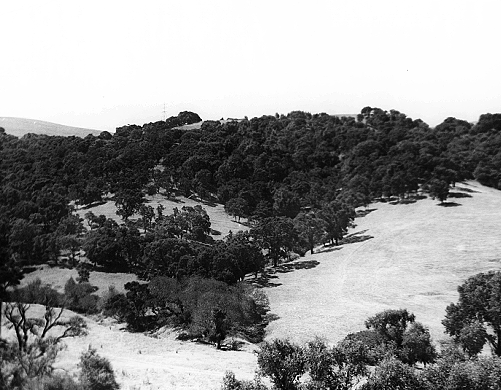
Lafayette’s Happy Valley was the hub of Candelario Valencia’s 3,329 acre Rancho Acalanes. Near water and surrounded by grass and shrub-covered hills, the area was ideal for running cattle.
Just south of Acalanes Rancho was the second of the five grants linked to Lafayette. This was the 13,316 acre Laguna de los Palos Colorados which in 1835 was granted to Joaquin Moraga and Juan Bernal. While it is not certain if Bernal ever lived on the land grant, his cousin Moraga built an adobe which still stands today above Moraga Way in Orinda. Bernal’s widow, Encarnation Soto de Bernal, and her children lived on a corner of the Moraga Rancho in an adobe constructed about 1848 approximately a mile up modern Happy Valley Road.
Settlement of a boundary dispute between Moraga and Velencia sometime in the 1840’s put the Widow Bernal’s home, which was located within the controversial area, into the Acalanes Rancho.
To the north and the east of Acalanes was the third rancho which now lies partly within the city limits of Lafayette. This was Boca de la Cañada del Pinole or Mouth of the Pinole Valley, awarded to the widow of Felipe Briones in 1840 in place of Rancho El Pinole which Briones had requested in 1839.
Only a sliver of the fourth grant, Rancho Cañada del Hambre y las Bolsas, reaches into present day Lafayette…that area along Taylor Boulevard and the far eastern border of the city. Granted to Teodora Soto de Briones in 1842, the rancho was comprised of two grants containing 13,312 acres. The original portion of the rancho, “Cañada del Hambre,” was probably named by early Spanish explorers and is translated “Valley of Hunger.” The reference was to the many canyons in the area through which the near-starving explorers passed.
The final rancho involving Lafayette land was El Sobrante de San Ramon which extended beyond Alamo and reached into Lafayette’s boundaries near the present intersection of Pleasant Hill Road and Olympic Boulevard. In 1844 Jose and Inocencio Romero asked for five leagues of “overplus” or extra lands (known as sobrante land) lying between the ranchos of Moraga, Pacheco and Welch. In a complicated series of legal maneuvers and conflicting claims the petition was finally denied by the Land Commission in 1853.

