Transportation over the Oakland-Berkeley hills in pioneer days was poor and slow, effectively isolating the farm communities of the mid-county from much of the outside world. By 1864 there was a stage line from Oakland to Martinez with a stop in Lafayette in the morning and another on the return trip in the afternoon. The stage or one’s own horse-drawn buggy was the only way “in” and “out” over the precipitous Summit Road (also called Telegraph Road and now known as Fish Ranch Road) until the opening of a high level tunnel through the hills in 1904. The old bore, which can still be discerned in the hills high above the Caldecott Tunnel, was half a mile long, was originally unlit and dangerously narrow.
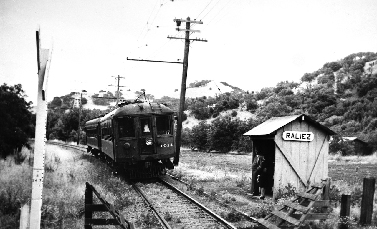
The second factor affecting the change of pace for rural Lafayette was the opening of the Oakland, Antioch and Eastern Railway linking San Francisco and Sacramento via Shepherd and Redwood Canyons, the Moraga Valley and a route parallel to modern Beechwood Drive in Lafayette with a loop back to what is now Olympic Boulevard. The line continued on to Saranap and north. Later called the San Francisco-Sacramento (the short line) and the Sacramento Northern, the train served as commute transportation, as a ride for high school students attending Mt. Diablo High and as a relatively fast and inexpensive way to get to the growing number of summer homes and the picnic spots in the area.
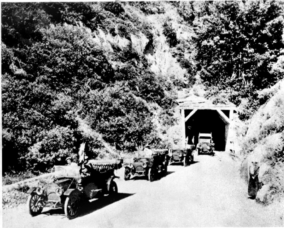
Constructed of wooden beams, the first tunnel to Oakland is shown here in 1918 as cars creep through the bore. The tunnel was originally built so narrow a hay wagon had to drive down the center to avoid hitting the arched sides, and it was impossible for a vehicle from the other direction to pass. As the tunnel was dark, wagon drivers lit up newspapers when entering as a signal to those at the other end to wait. In 1915 the ceiling of the old tunnel was raised three feet to accommodate autos and trucks.
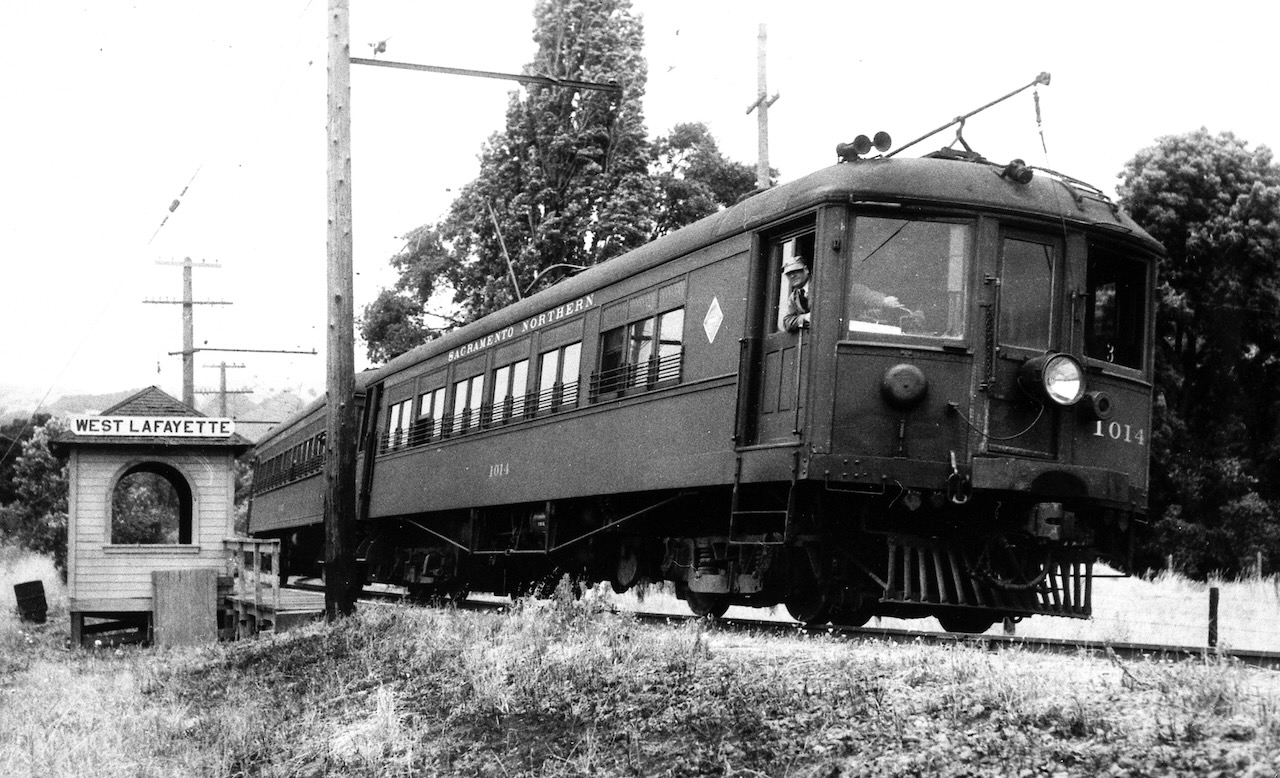
Sacramento Northern trains were the lifeblood of the community from 1913 to 1941 when passenger service was eliminated. West Lafayette station was near Paradise Ct. at the end of School Street.
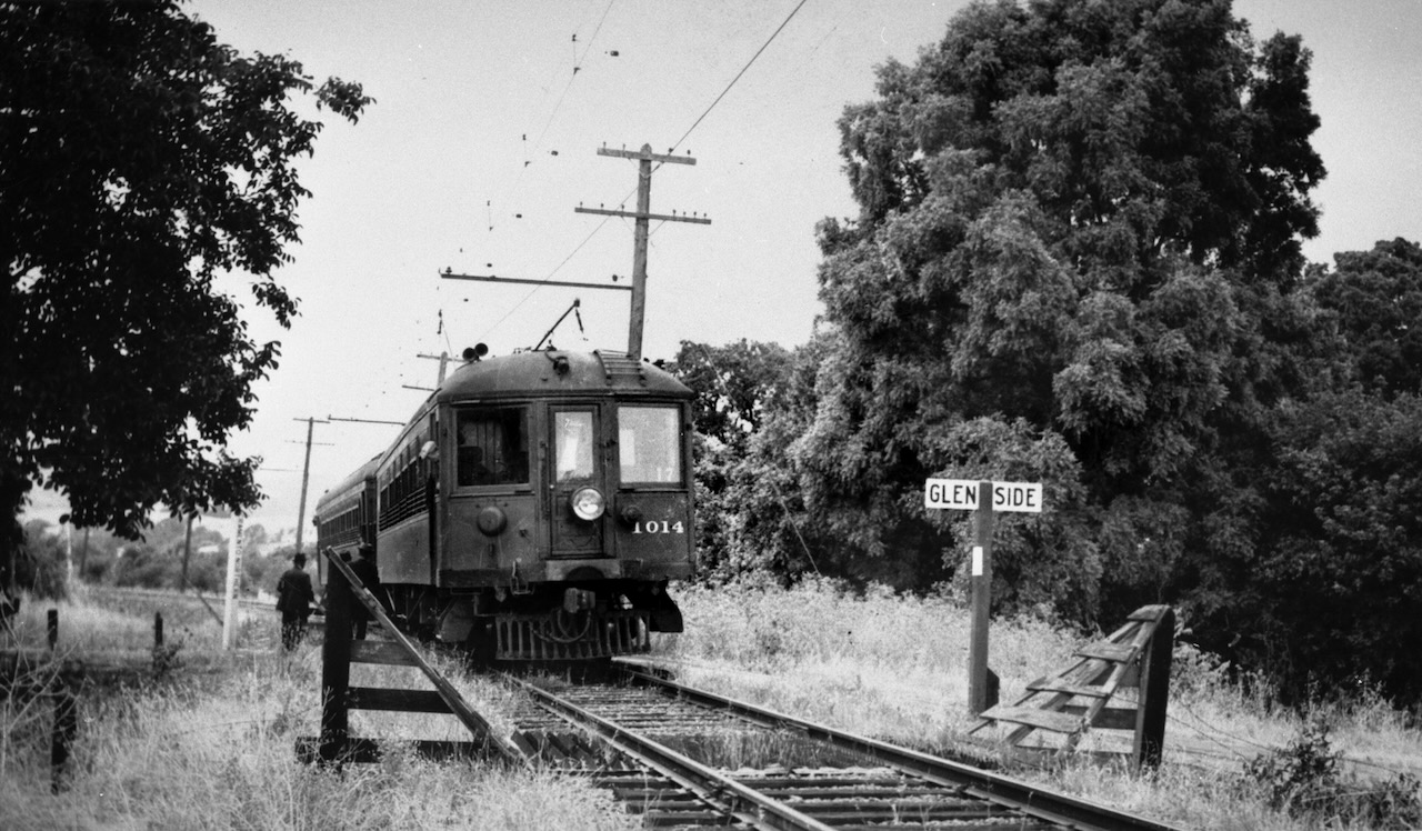
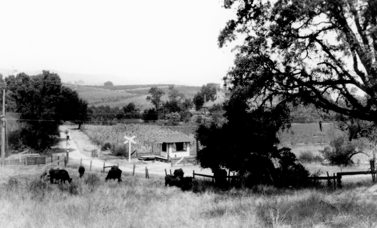
Typical of the local scene during transition from the pastoral to suburban is this 1915 photo from Whitcomb Hill looking down Reliez Station Road to Sacramento Northern Railroad crossing from Lafayette to Walnut Creek. Olympic Boulevard now begins at this intersection, covering old right of way. Beechwood Drive on the left, just below fence.

