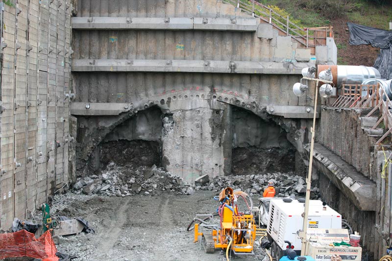
On August 24, 2010 Caltrans, the Contra Costa Transportation Authority (CCTA) and other project partners marked an historic moment for the Caldecott Fourth Bore Project.
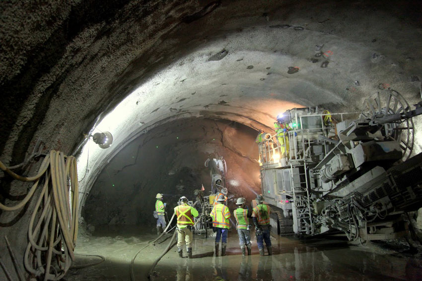
Standing next to a monolithic custom-designed, electric-powered road header, dignitaries gathered at the tunnel’s eastern portal in Orinda to mark the beginning of a project that had been years in coming.
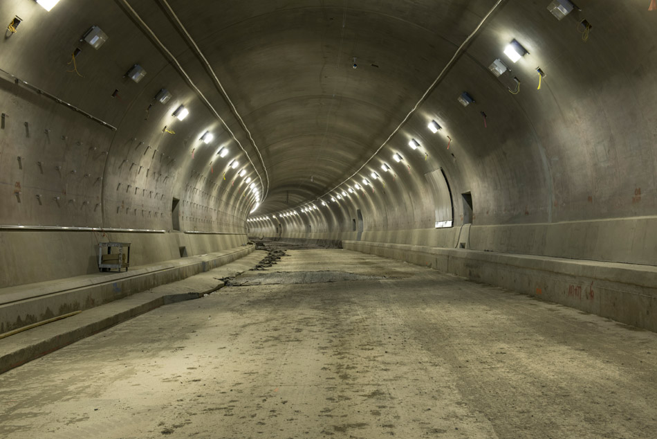
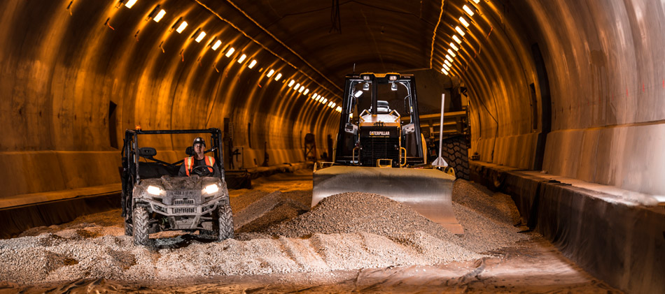
Three years to the day that tunneling began; the Lafayette Historical Society will mark a significant anniversary of the Caldecott Fourth Bore Project. Senior Geological Engineer Chris Risden and Fourth Bore Public Information Officer Ivy Morrison will use dramatic tunnel photos and geological specimens from the Fourth Bore to provide a behind-the-scenes overview of tunnel history, geology and excavation, as well as recent footage capturing the tunnel’s progress, as it nears completion.
When it opens to traffic in late 2013, the Caldecott Fourth Bore will relieve traffic congestion in the off-peak direction along State Route 24 between Alameda and Contra Costa counties. The $402 million Fourth Bore Project is one of the largest recipients of federal Recovery Act funding in the nation – a testament to its importance to Bay Area transportation. The project is also receiving significant funding through Measure J, a half-cent sales tax measure passed by Contra Costa voters in 2004, along with other state and regional funds.
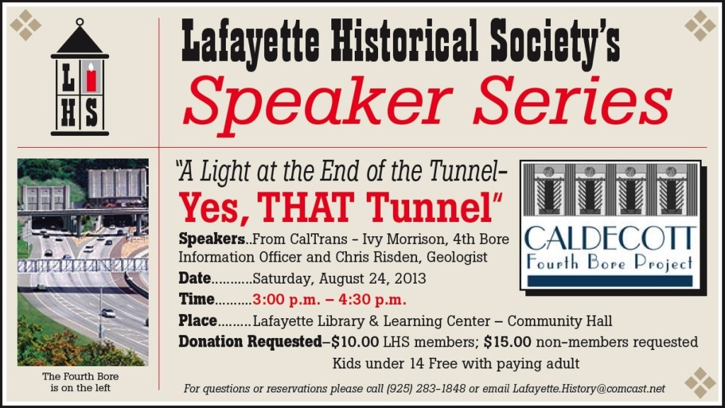
“A Light at the End of the Tunnel – Yes, THAT Tunnel”
Saturday, August 24, 2013
Lafayette Library & Learning Center – Community Hall
3:00 p.m. – 4:30 p.m.
Speakers: Ivy Morrison, Public Information Officer for the Caldecott Fourth Bore Project and Chris Risden, Engineering Geologist for CalTrans
Donation requested – $10.00 LHS Members; $15.00 non-members
Kids under 14 free with paying adult
For questions or reservations (requested, but not required) please call (925) 283-1848 or email Lafayette.History@comcast.net
Stu Swiedler last spoke for the Lafayette Historical Society in April 2011. His presentation received excellent reviews and comments. In the two years since that presentation, he has expanded his collection and will share his findings with us. He will be discussing the role of the East Bay Hills in WWII and the Korean War.
The route of the Sacramento Northern Railroad created a unique transportation corridor connecting Contra Costa County to Alameda County during a period of rapid growth in the early to mid-20th century. Photographs of the railroad captured everyday life, and the major events that shaped the development of the East Bay hills. This included the introduction of electricity, water, parks, roads and bridges, building construction, new agricultural products, education, manufacturing, transportation and ultimately the preparation and execution of war. The East Bay Hills Project (eastbayhillsproject.org) has combined images of the railroad with aerial views to tell the story.
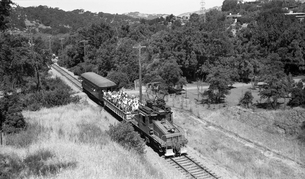
Does this photo look familiar? Do you know who took it, when and why it’s important? Join us and you will find out!
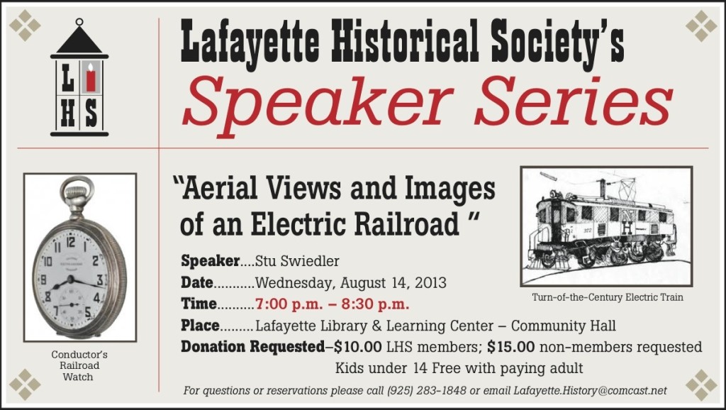
“Aerial Views and Images of an Electric Railroad”
Wednesday, August 14, 2013
Lafayette Library & Learning Center – Community Hall
7:00 p.m. – 8:30 p.m.
Speaker: Stu Swiedler
Donation requested – $10.00 LHS Members; $15:00 non-members
Kids under 14 free with paying adult
For questions or reservations (requested, but not required) please call (925) 283-1848 or email Lafayette.History@comcast.net
You can also sign up below:

[…] this photo look familiar? Do you know who took it, when and why it’s important? Join us on August 14 at 7:00 p.m. and you will find […]